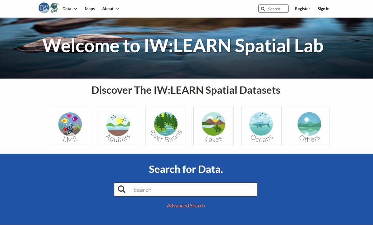
IW:LEARN Spatial Lab
The IW:LEARN Spatial Lab aims to provide a customizable mapping of the GEF International Waters (IW) portfolio and provide a visualization of studies, reports and intervention results on the various transboundary water basins pulled together with the help of the GEF IW projects, partner organizations and authoritative sources and other contributors.
The IW:LEARN Spatial Lab aims to provide a central service for sharing and discovering geodata. The platform lets users upload, manage, and browse and visualize data, and export public data in reusable formats.
This is made possible through GeoNode which is an open source platform for sharing geospatial data and maps.